Rollercoaster
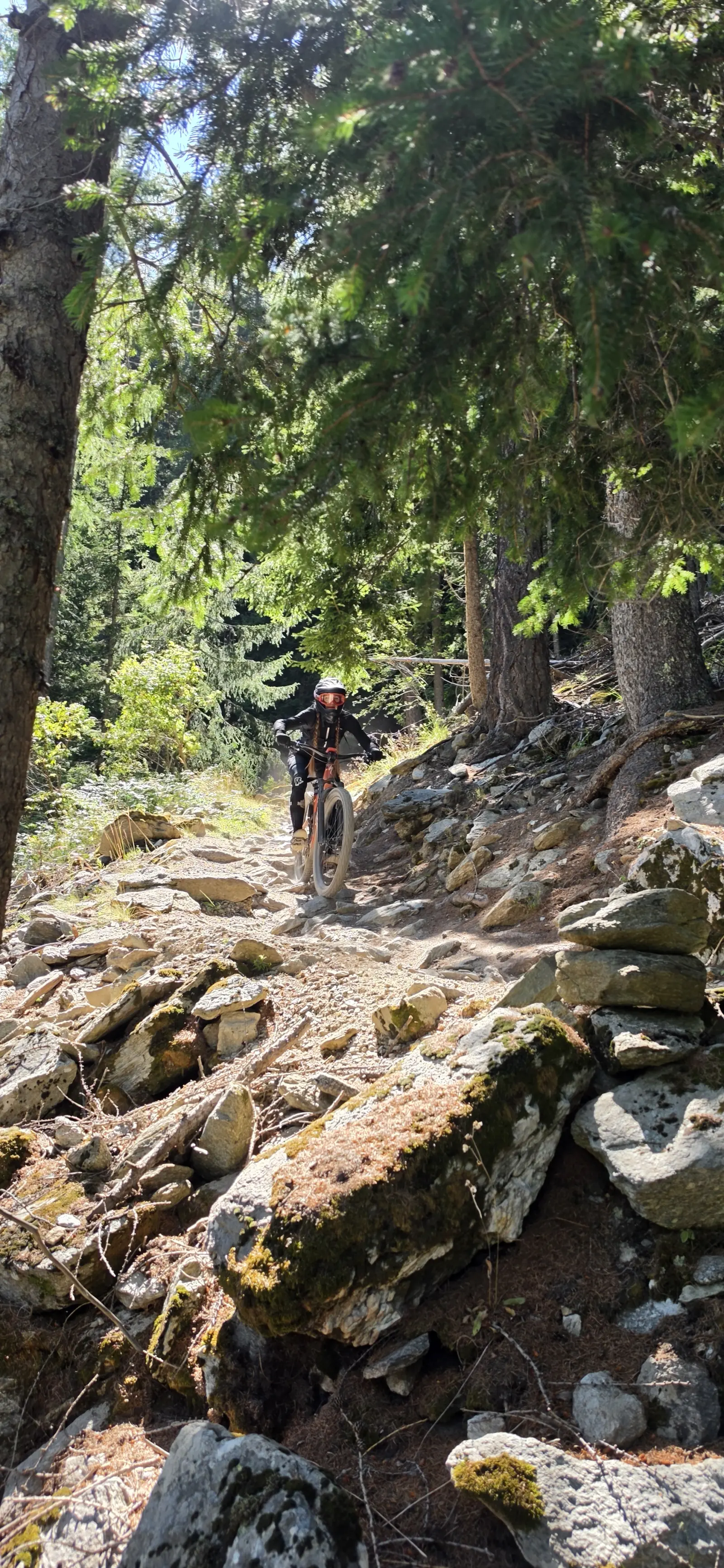
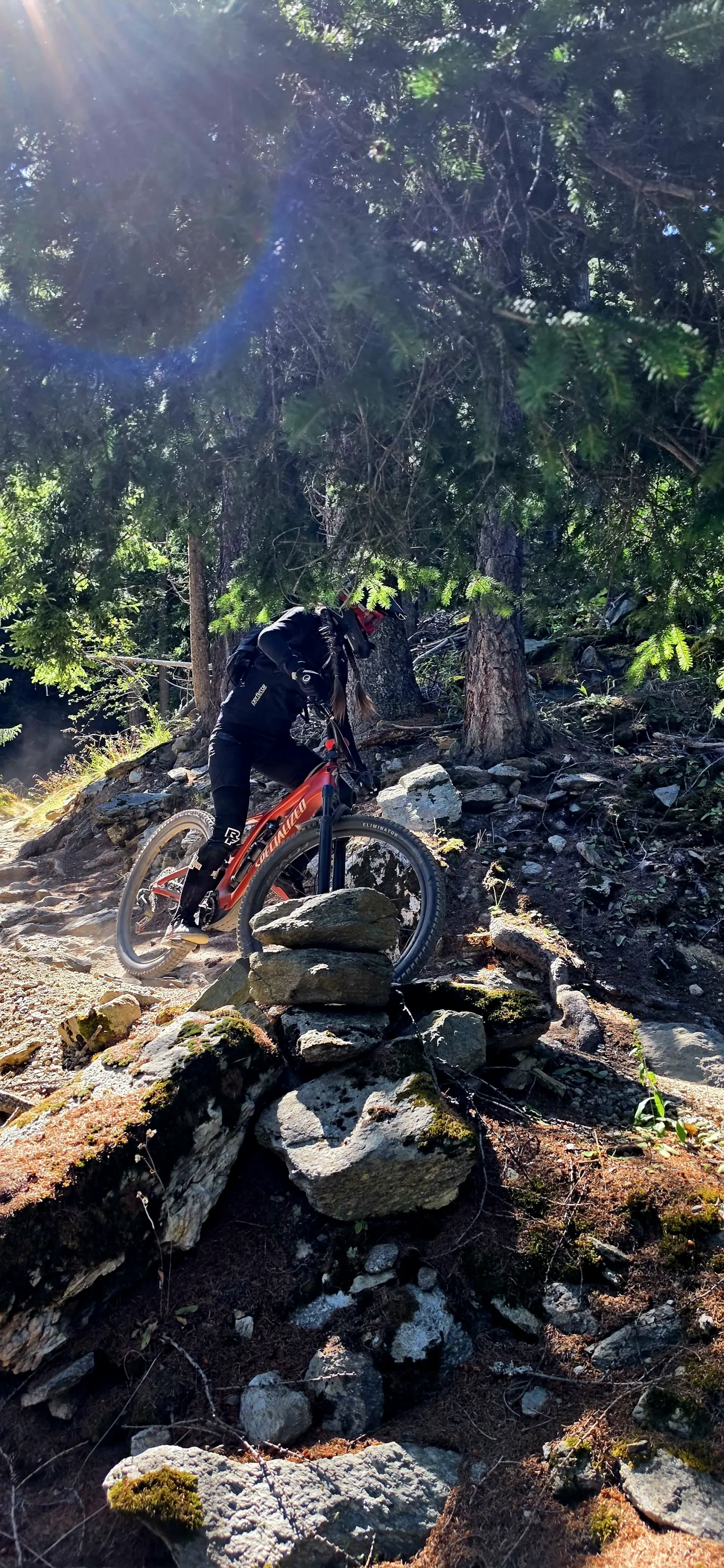
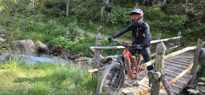
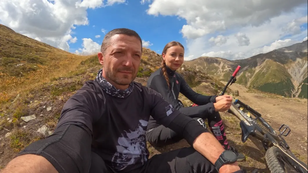
MediumA popular flow trail: smooth turns, high berms and a series of small jumps.
Length4 km
Elevation gain400 m
StartCarosello 3000
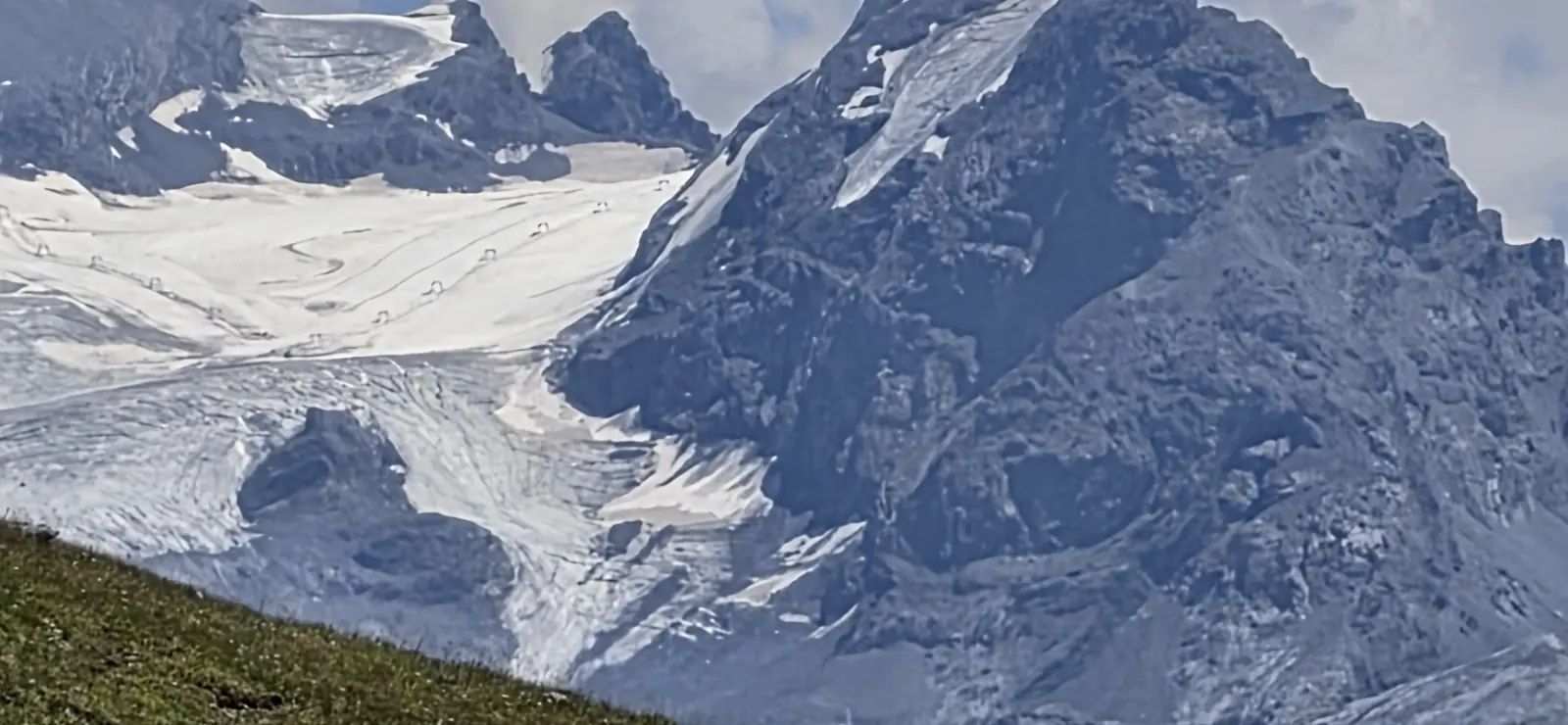
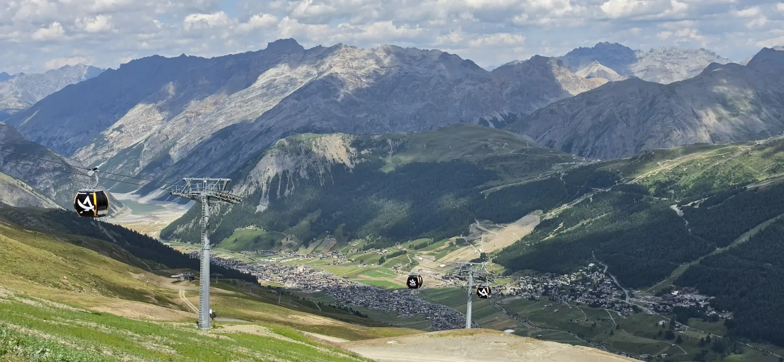
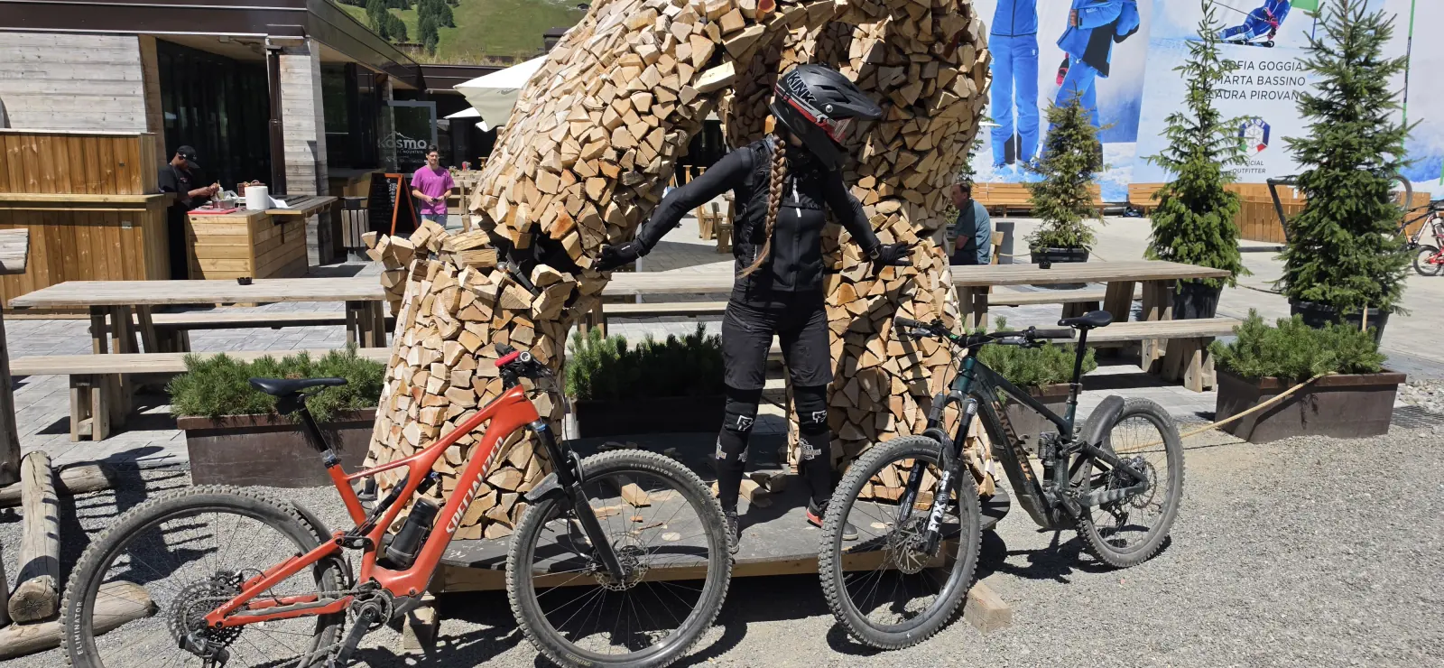
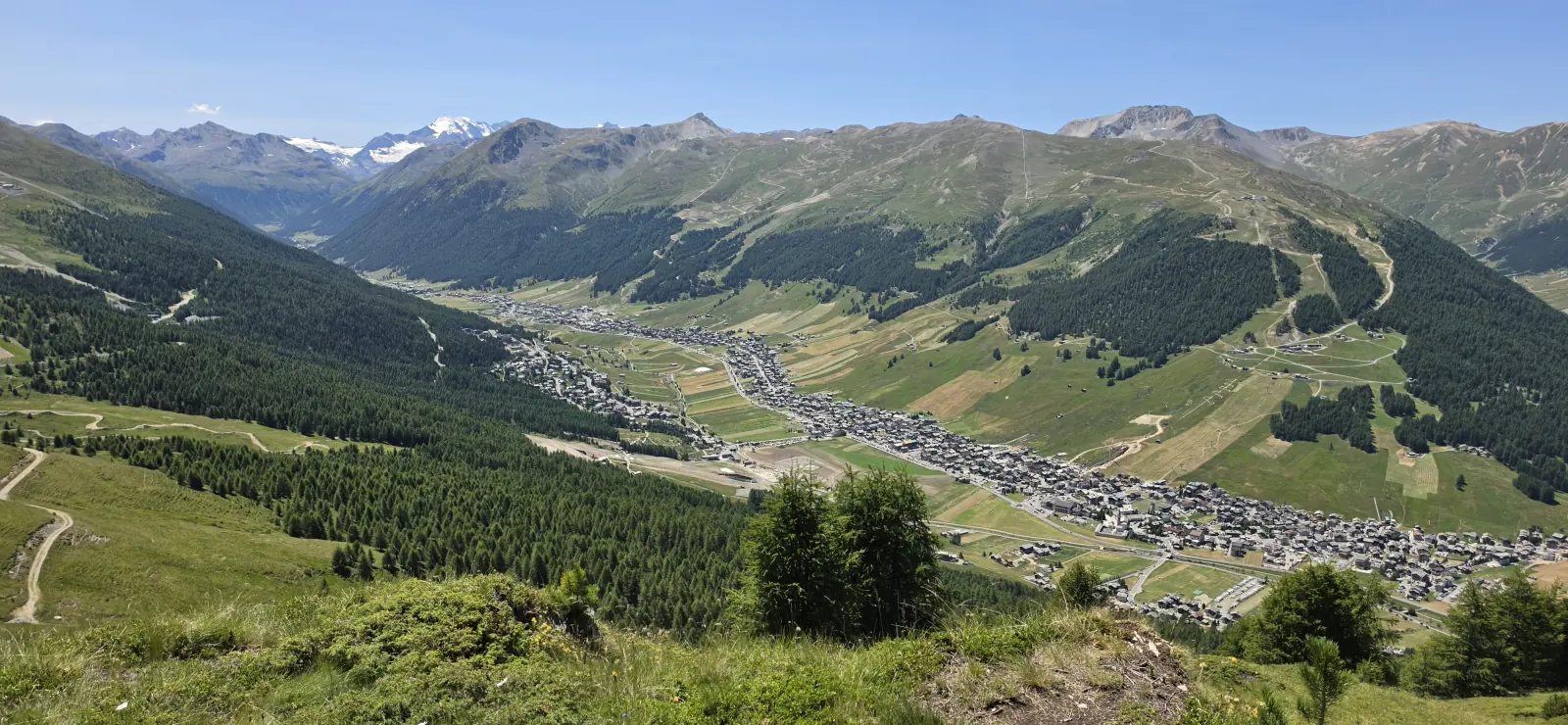
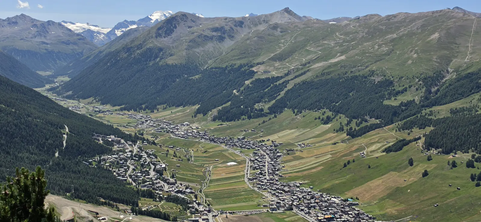
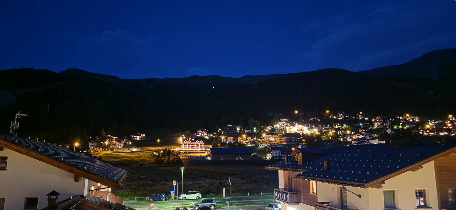
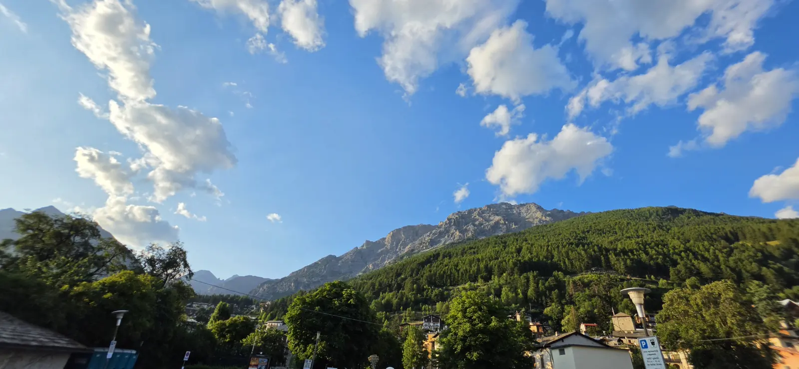
Set in the scenic Alps right by the Swiss border, Livigno is one of the most iconic spots on Europe’s biking map. Mountain bikers here get two modern bike parks: Mottolino — more downhill-focused, with plenty of high-difficulty trails — and Carosello 3000 — more enduro/trail, with long flow trails. The colour grading doesn’t always match the real difficulty.
It’s best to plan the route via Germany and Austria. The 10-day vignette costs €12.80 in 2026; bought online through the ASFINAG shop, it can be valid straight away. Three roads lead to Livigno: from the north through the toll, single-lane Munt La Schera tunnel; from the west via Bormio and the Foscagno Pass; from the south via the Engadin.
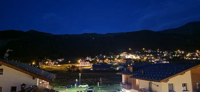
For a few years now, Livigno has been a fixed point in our holiday plans. Breathtaking scenery, the feel of the high mountains, a duty-free zone, and above all, an incredible density of trails and bike parks per square metre.
A popular flow trail: smooth turns, high berms and a series of small jumps.
A technical descent: steep sections, roots and rocks. For advanced riders.
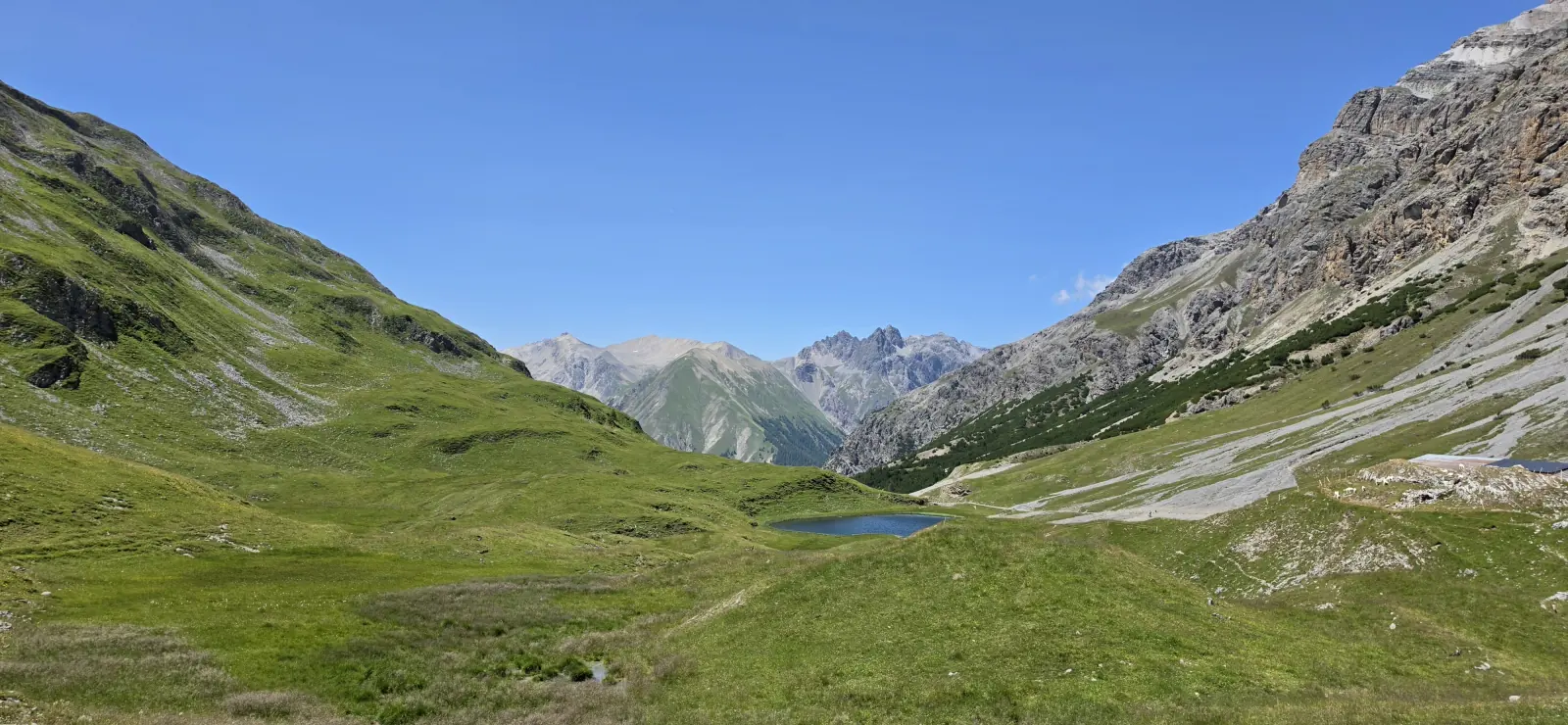
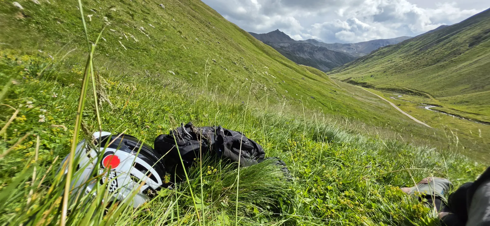
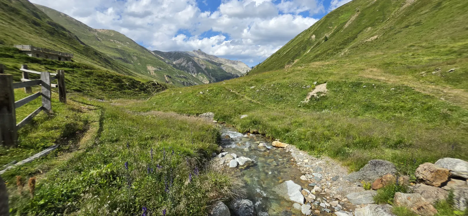
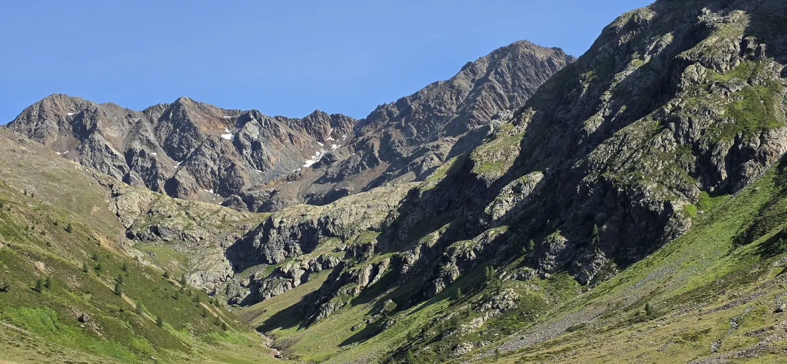
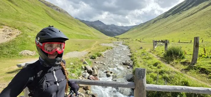
Through the Val Federia valley — technical sections and flowing parts, plenty of views.
A natural enduro trail combining technical descents with climbs. A full-day adventure on the ground.
Over the Passo Trela pass, with spectacular views of the surrounding peaks.
A valley known for its beautiful scenery and varied terrain.
Gentle climbs and descents, good for beginners and families.
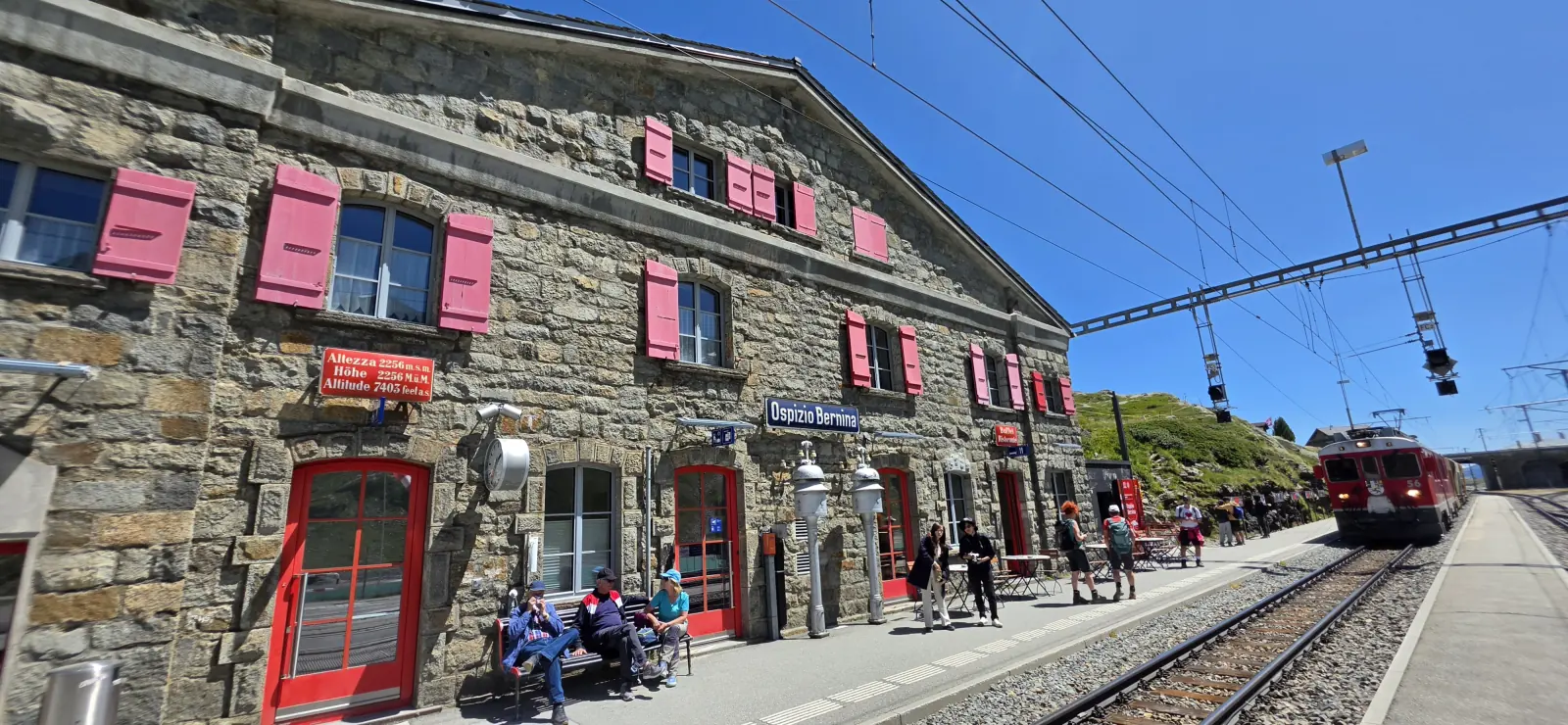
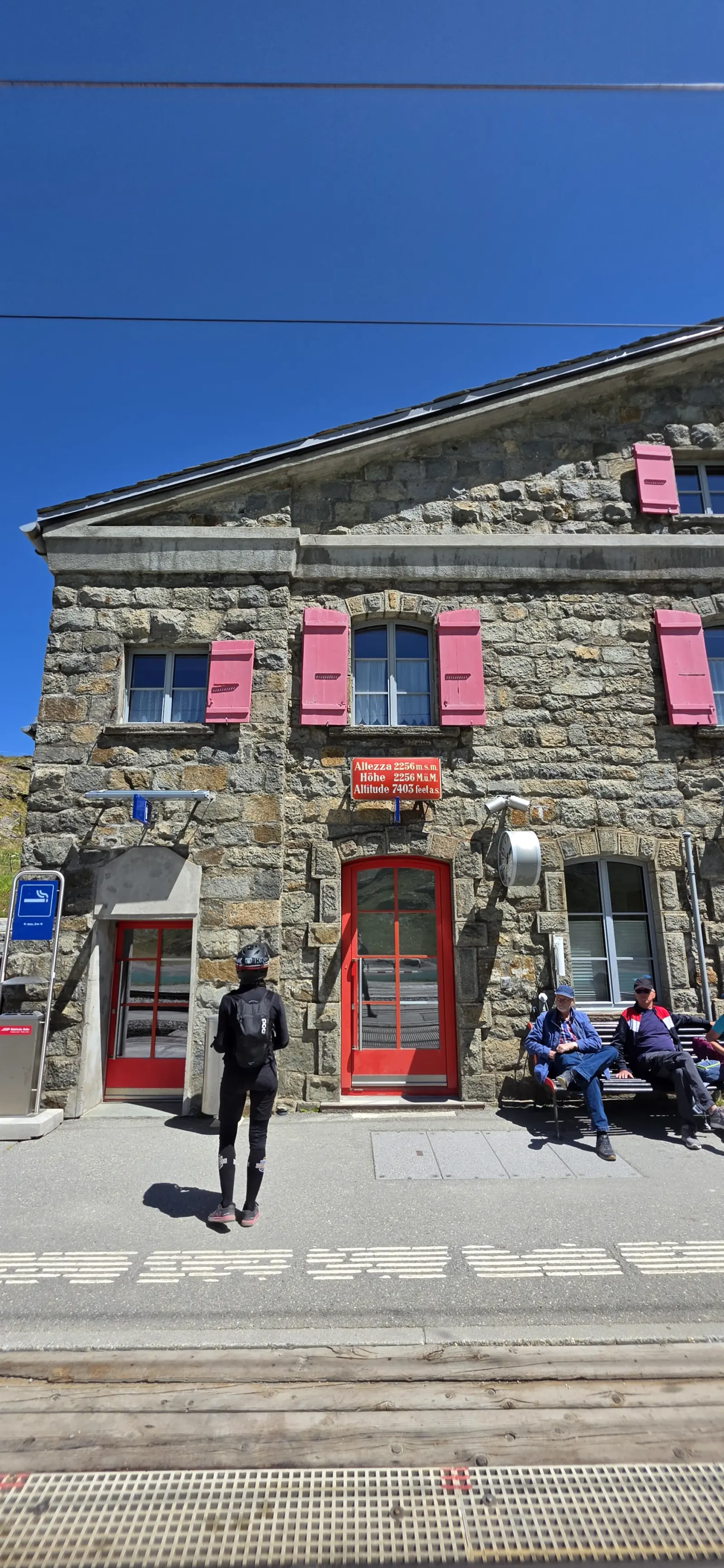
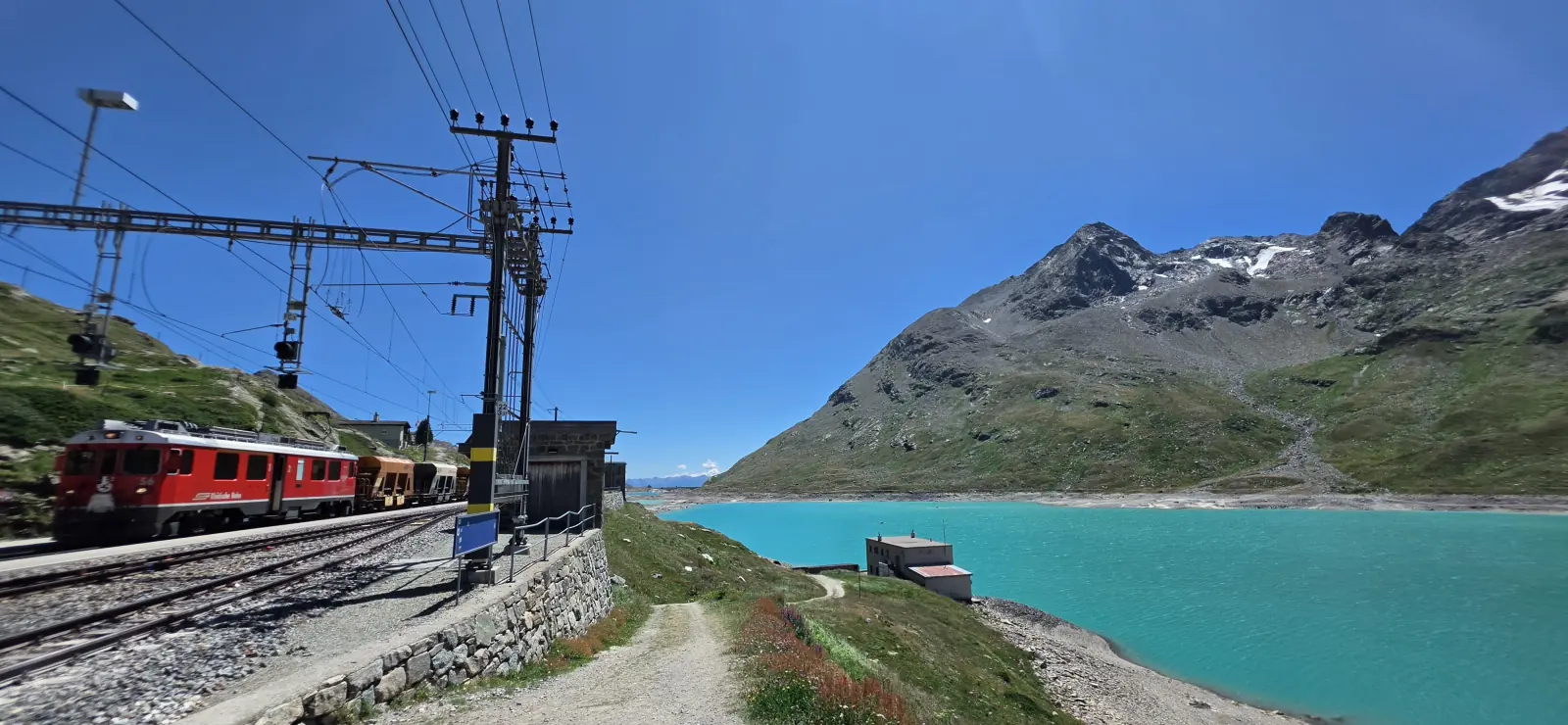
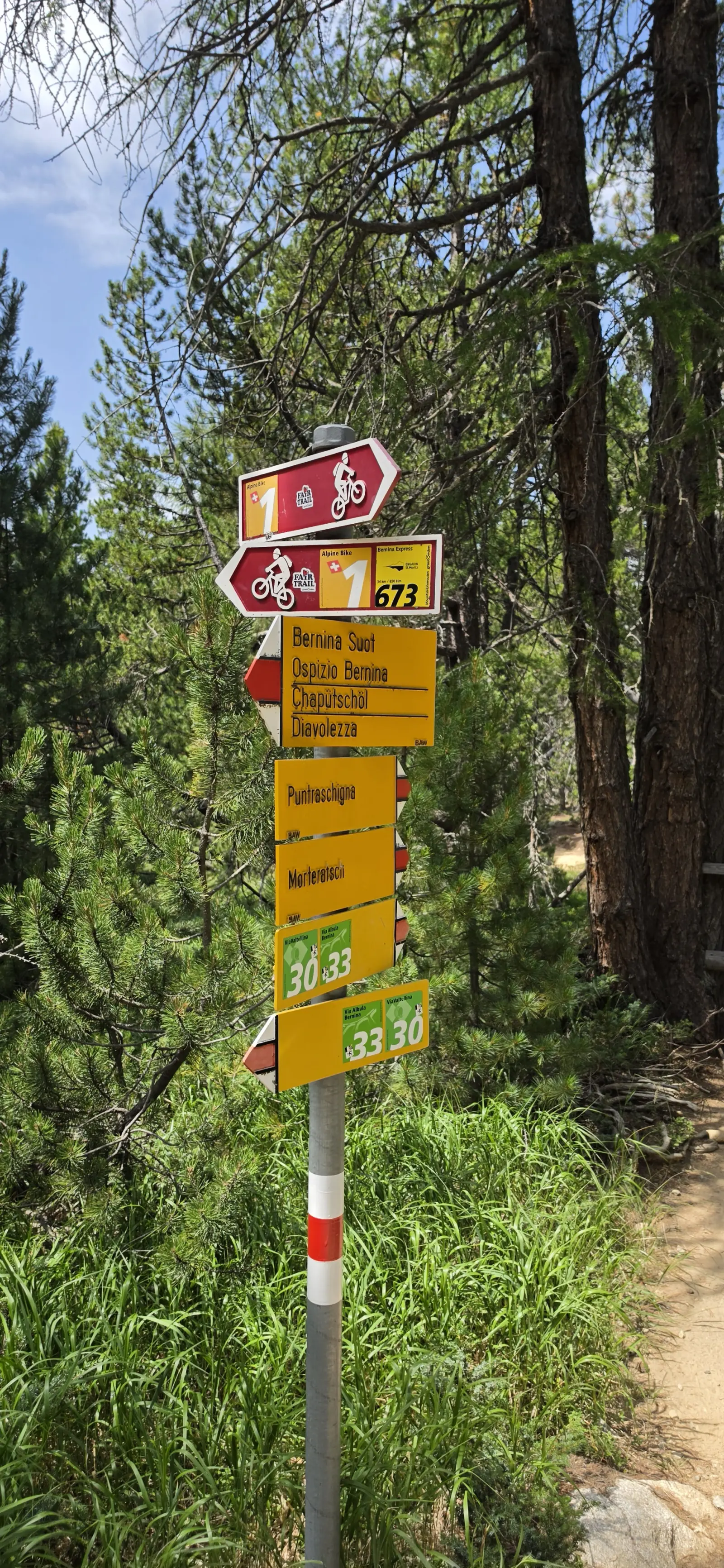
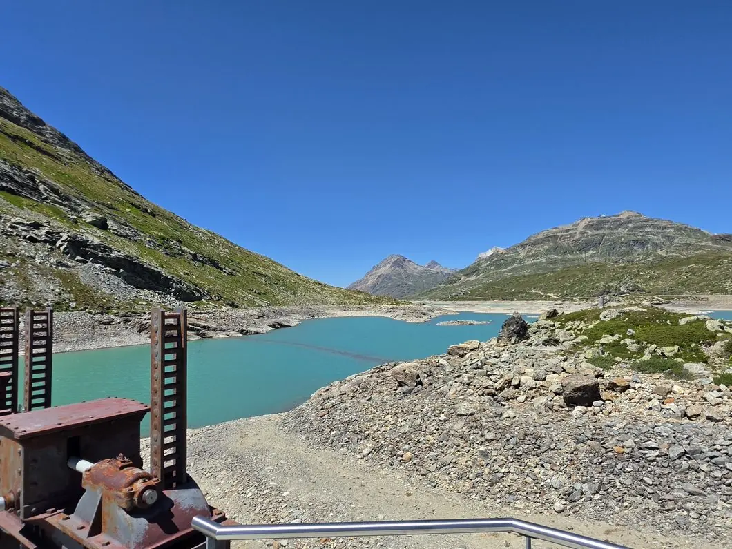
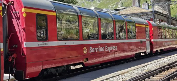
Links Switzerland with Italy: Lago Bianco, Val Minor, Piz Bernina, and the Bernina Express line crossing the route.
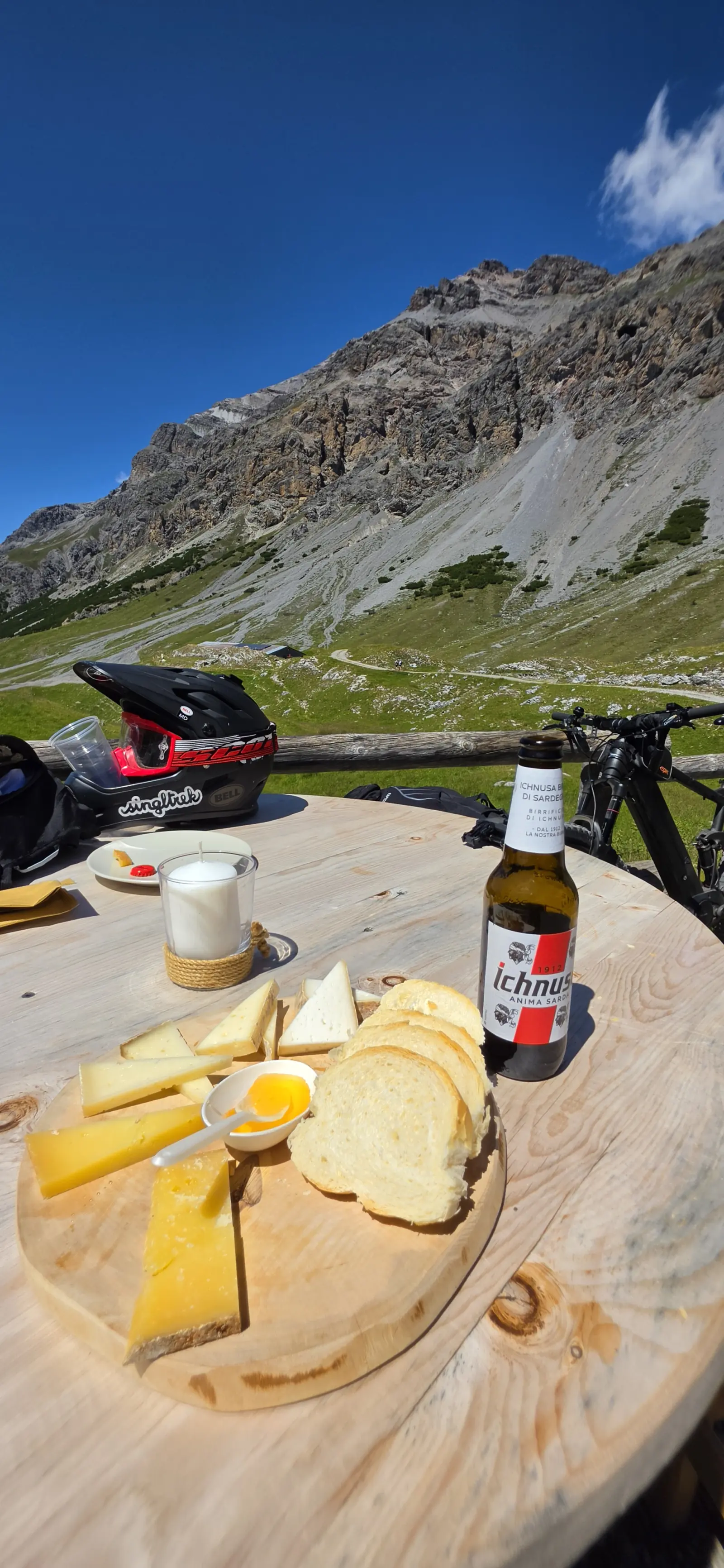
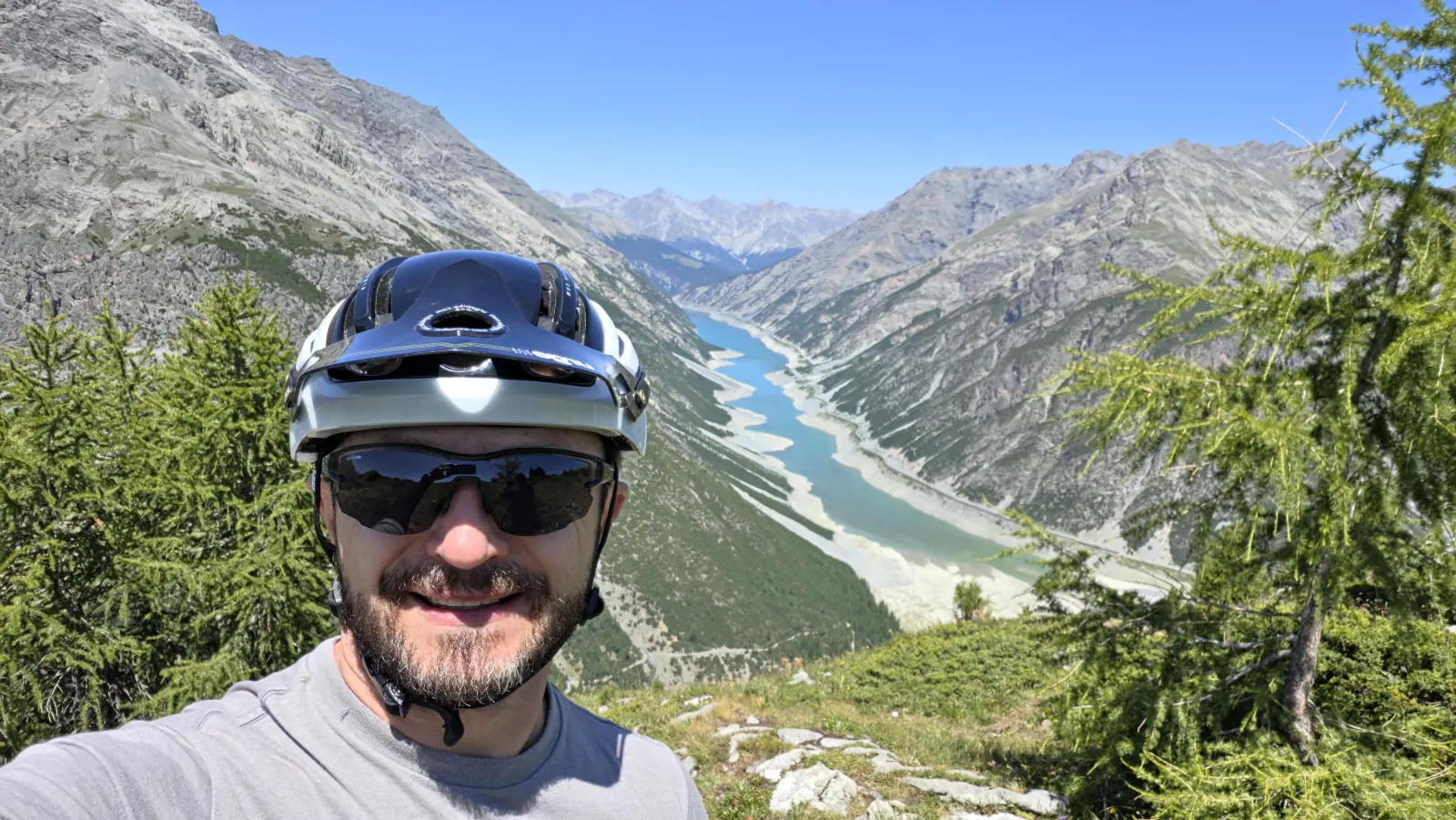
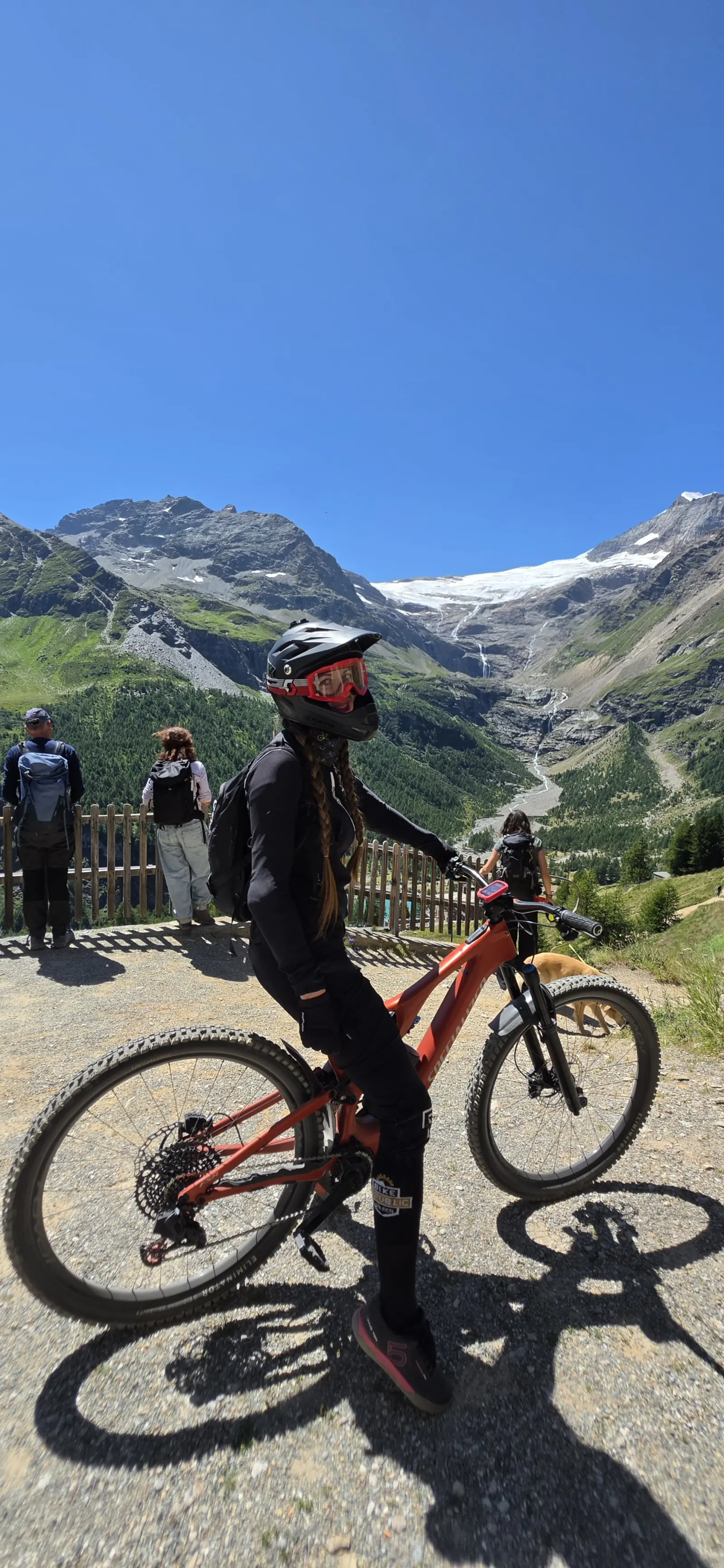
19–25 July, a week on e-bikes. Four full-day rides logged on Komoot, with real stats from the watch — not from planning at the table.
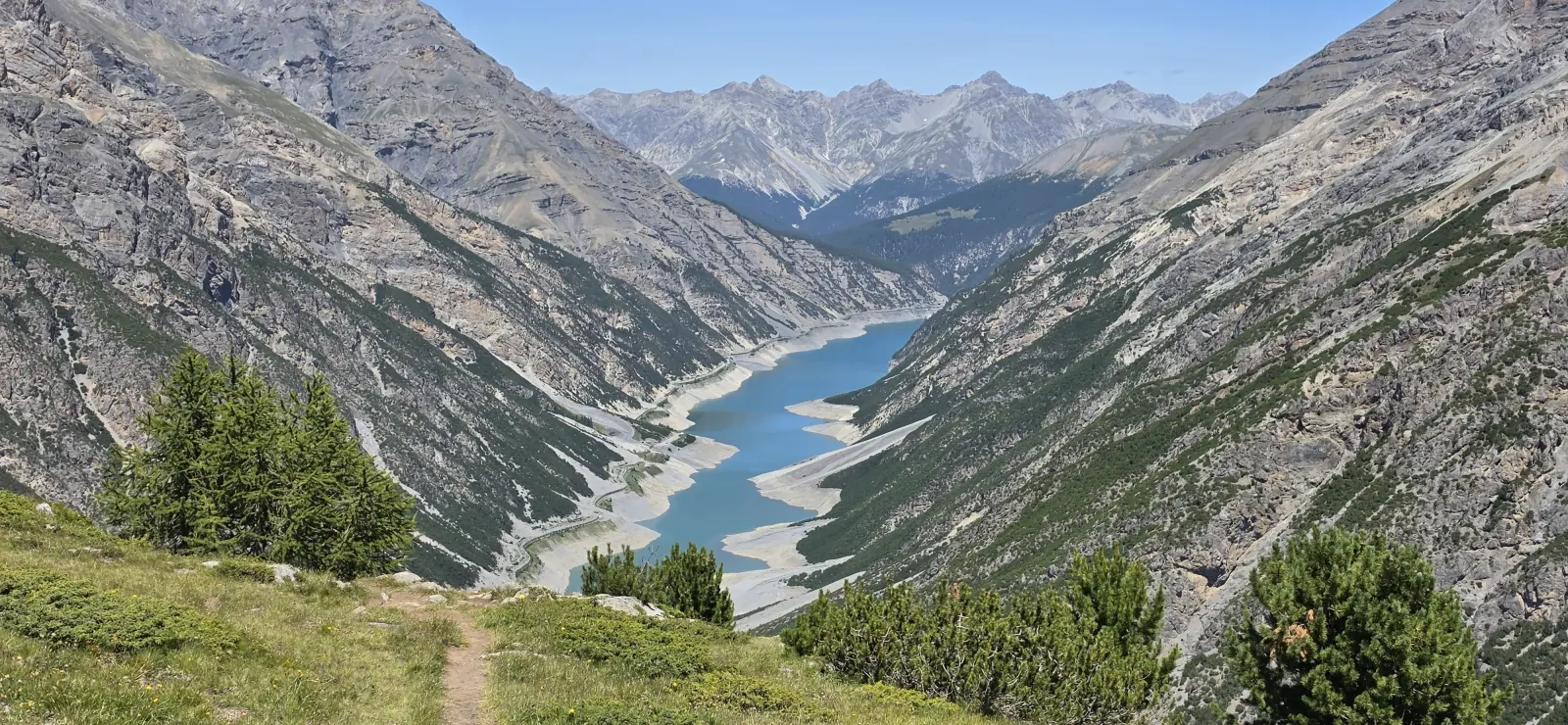
Up on the Carosello 3000 lift, then a descent and traverse towards Val Federia — from bike-park terrain into the valley’s rawer scenery.
The longest day of the trip: viewpoints above the valley, the Panoramica traverse, a descent through the rocky Valle delle Mine into a forest finale.
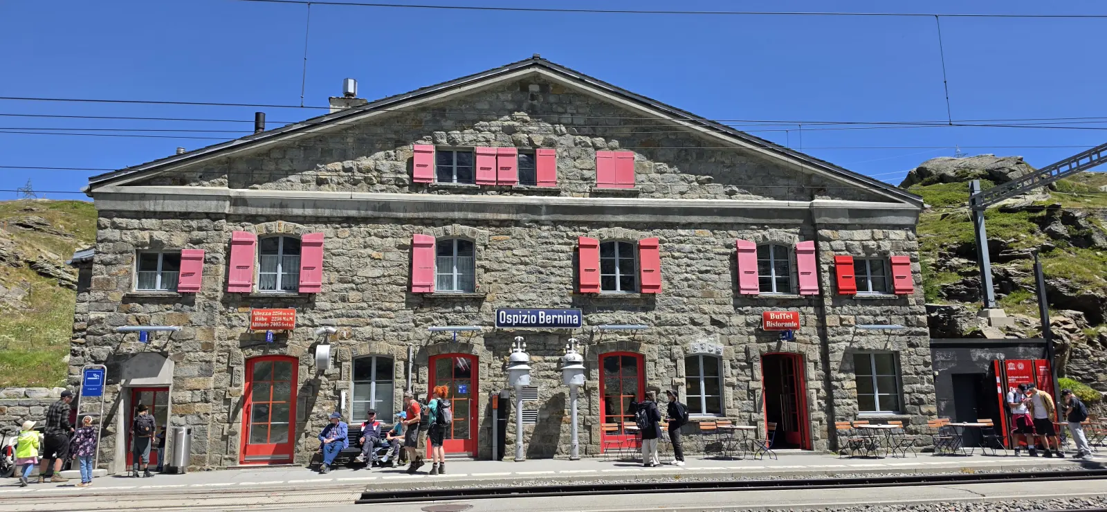
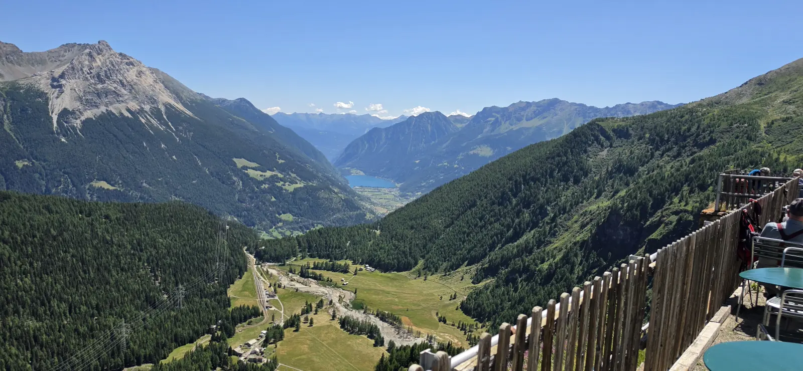
From the Bernina Pass, passing Lago Bianco and the Rhaetian Railway, over a thousand metres of descent down to the Mediterranean-feeling Poschiavo valley. Return by train.
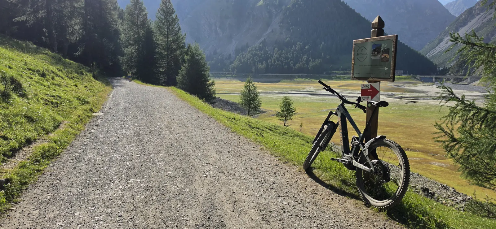
A short, fast day closing out the trip: gravel roads and wide paths between the Bernina massif and the Engadin valleys, finishing among larch trees.