Places · 07 / 07

Poznań

We live just outside Poznań and ride here all year. It is flat — these are not the Alps and nobody pretends otherwise. But there is water, forest and a few dozen kilometres of loops you can put together for any weather and any amount of time.

Dąbrówka · 16 km from central Poznań
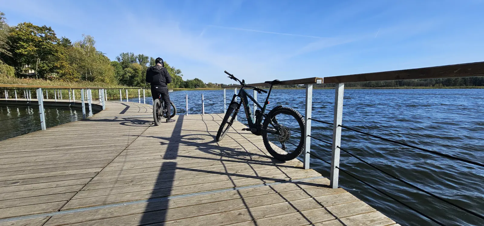
Bikes on the boardwalk by Lake Lusowskie near Poznań
All places01Nauders02Livigno03Sölden04Serfaus Fiss Ladis05Świeradów-Zdrój06Dąbrówka

Getting there

Dąbrówka near Poznań, 16 km from the centre. Every loop below starts here.

Trails

Every number is the median of a series of our own rides recorded on Strava, not a plan drawn on a map. The range in brackets shows how much the same loop varies.

Around Lake Lusowskie

The everyday loop

The loop we ride most often — over twenty times in 2026 alone. Out of Dąbrówka, down to the lake and a stretch right along the shore. Short, repeatable, good for two hours after work.

Distanceapprox. 27 km
Elevation gainapprox. 125 m
Rides25
Range: 23–38 km · 43–197 m

Dwie Plaże

Two lakes

From Dąbrówka to Lake Niepruszewskie, then across to Lake Lusowskie and back. Roots at the end, a short steep climb and some of the best views in this part of Wielkopolska.

Distanceapprox. 34 km
Elevation gainapprox. 130 m
Rides20
Range: 30–46 km · 106–217 m

Owocowa Plaża and Ceradz

Longer variant

Dwie Plaże extended with a loop through Ceradz. More kilometres, more field tracks, the same logic: lake, forest, back home.

Distanceapprox. 44 km
Elevation gainapprox. 185 m
Rides7
Range: 34–49 km · 137–267 m

Las Zakrzewski

The shortest

Just the forest loop, without the ride out to the lakes. The shortest thing worth riding here — good when you have two hours and it is raining.

Distanceapprox. 19 km
Elevation gainapprox. 60 m
Rides2
Range: 18–21 km · 45–73 m

Wielkopolski National Park

A full day

A trip out towards Stęszew and the national park. The longest and hilliest option around here — five hundred metres of climbing without leaving Wielkopolska.

Distanceapprox. 58 km
Elevation gainapprox. 355 m
Rides4
Range: 52–88 km · 293–515 m

Terrain

Elevation

Wielkopolska is flat and there is no point pretending otherwise. A typical loop is 110–130 m of climbing over 27 km. The hilliest stretch we have found is the shore of Lake Lusowskie — and the trip towards Wielkopolski National Park, where you can gather over 500 m.

Surface

A mix: forest roads, field tracks, stretches of tarmac between villages. After rain it gets heavy and slow — the same 27 km can take half an hour longer.

Season

All year. We ride here in January and in August; winter rides come out shorter and slower, but they happen.

GPX

Tracks from our own rides on Strava:

Around Lake Lusowskie →Dwie Plaże →Owocowa Plaża and Ceradz →Las Zakrzewski →Wielkopolski National Park →
All places01Nauders02Livigno03Sölden04Serfaus Fiss Ladis05Świeradów-Zdrój06Dąbrówka