Teäre Line
MediumSölden’s iconic trail from 2015: around 130 turns, berms, wallrides and a wooden spiral.
Length5,2 km
Elevation gain575 m
StartGaislachkogl 2 116 m
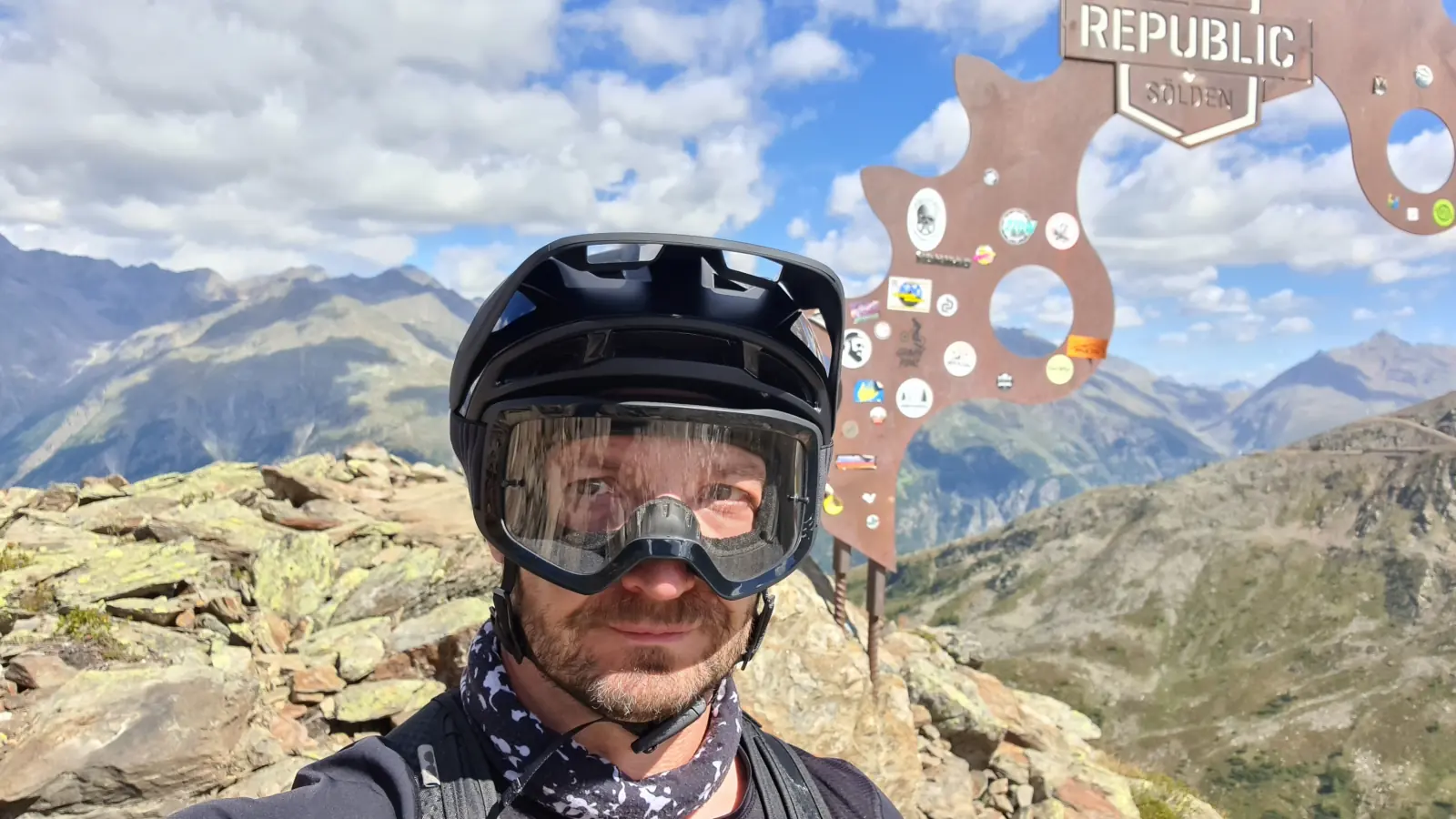
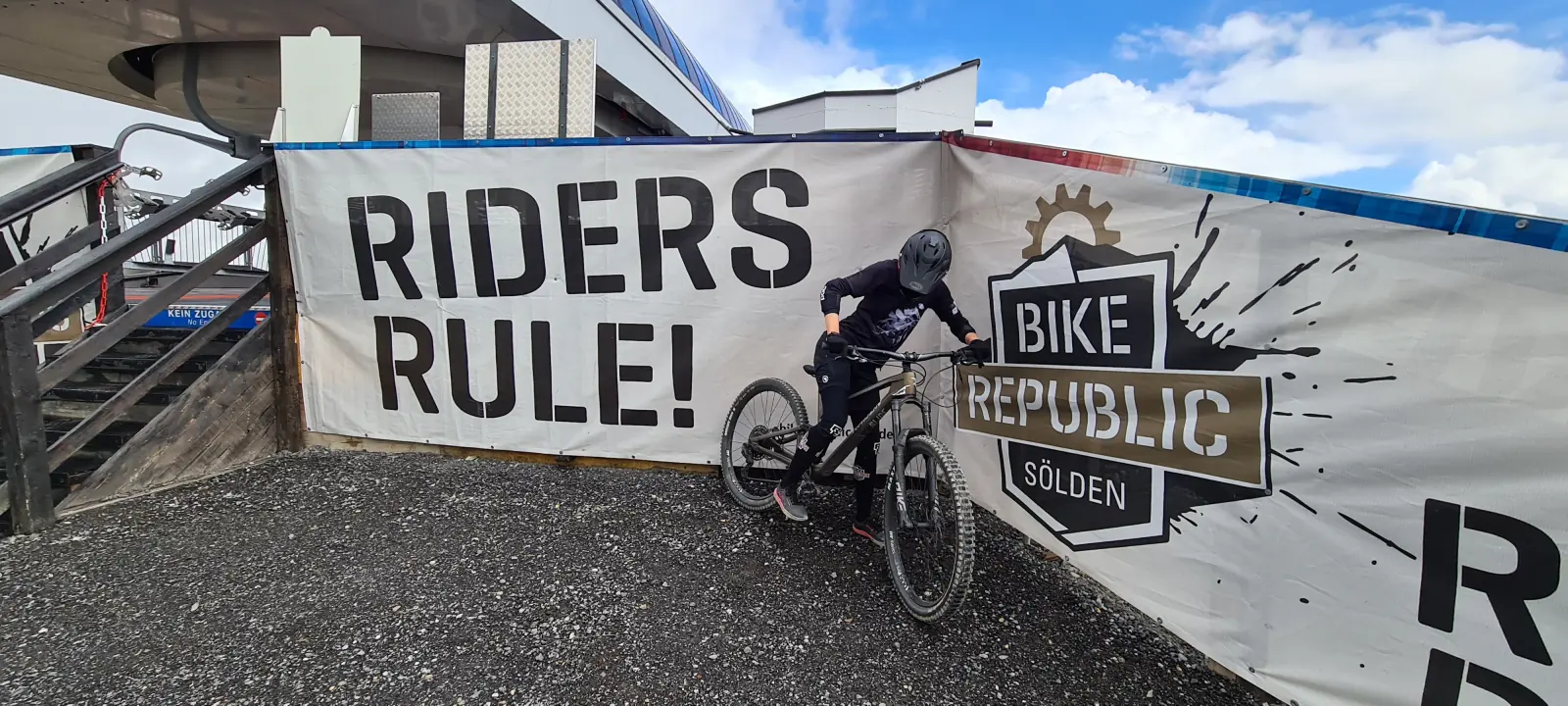
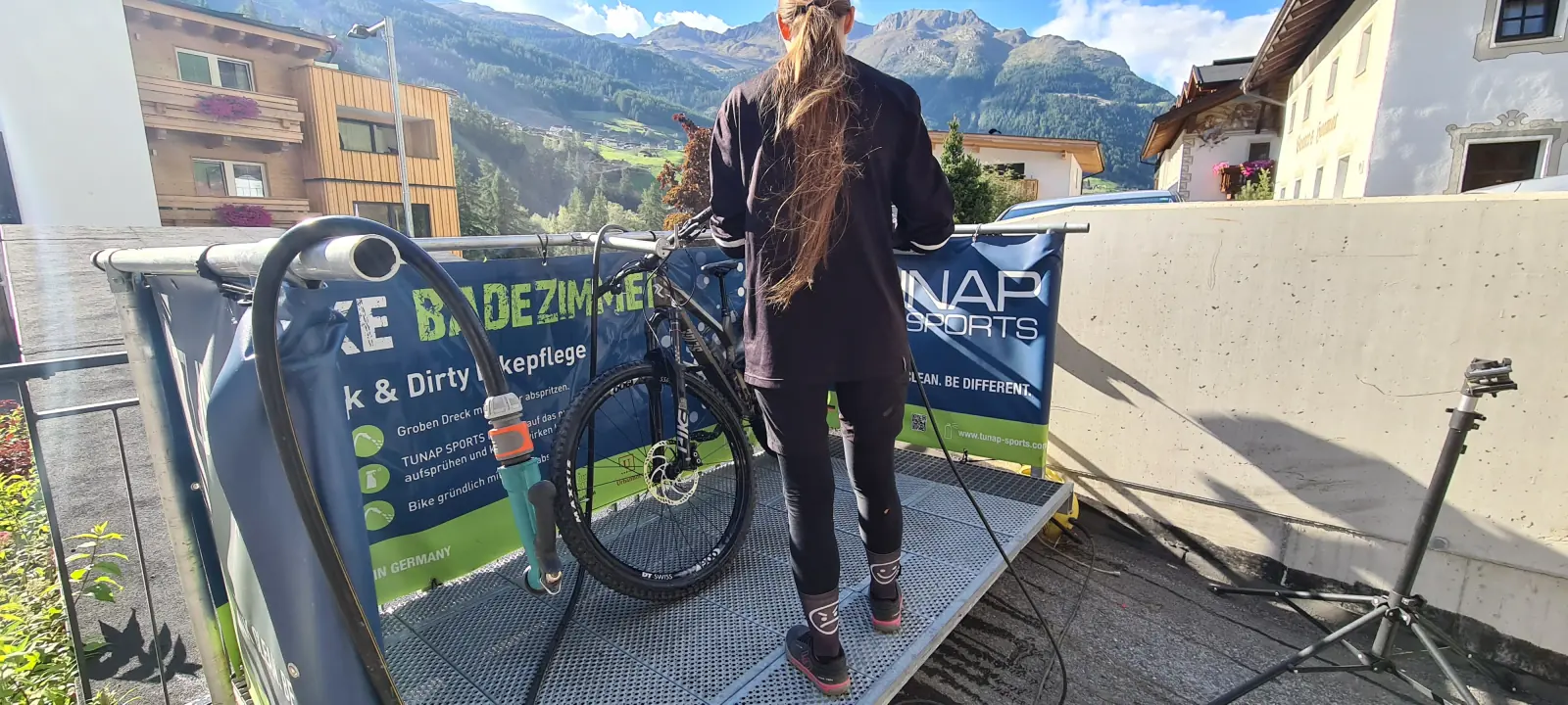
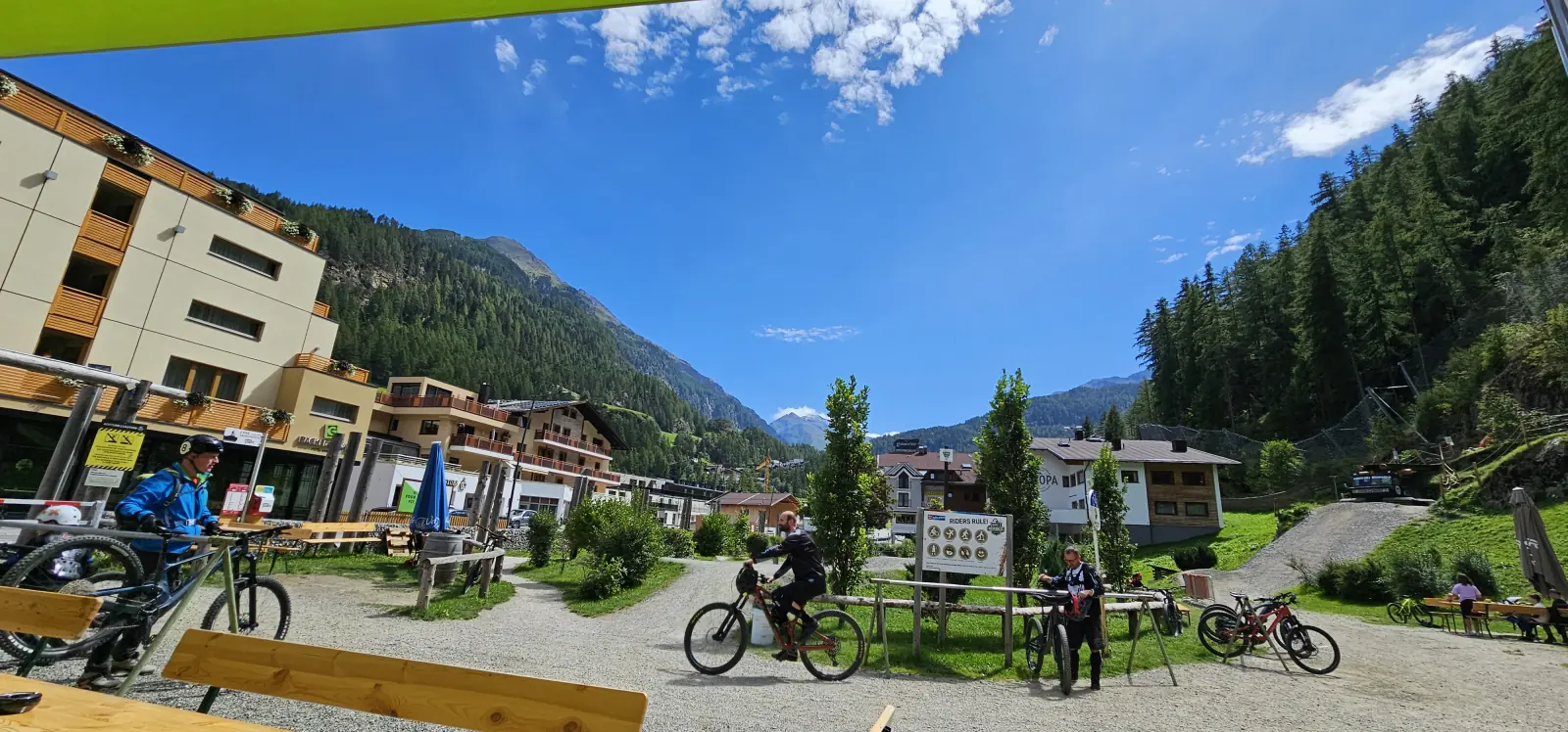
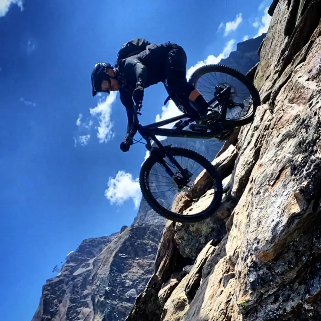
If anywhere on the map of Europe deserves the title of Bike Republic, it’s undoubtedly Sölden. Lifts that carry bikes, well-equipped service shops, bike-friendly hotels, and above all a network of superbly prepared trails — from flowing flow trails to technical singletrack high in the mountains.
The most convenient route usually runs through Germany, though some may prefer an alternative via Czechia. A vignette is required in Austria. The final kilometres run along an especially scenic road — switchbacks, mountains and rushing streams.
Teäre Line, Gahe Line and Ollweite are simply must-rides, whatever your preferences. If you ask why, my answer is “because it is”.
Sölden’s iconic trail from 2015: around 130 turns, berms, wallrides and a wooden spiral.
Fast, flowing sections and technical parts with roots and rocks.
A high-alpine trail with a glacier view: rollers, rocky sections, northshore.
Gentle turns and wooden features in the lower section. Together with Eebme, around 7 km of descent.